Secondary modifiers in cat model exposure data, explained
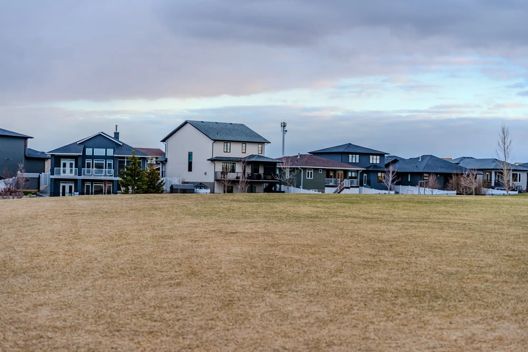
If you build submissions for a living, you already know the pain point before you read the next paragraph: the SOV comes in with occupancy, construction class, year built, and a location. Everything past that is either filled in by the cedent, guessed at by an underwriter, or left blank and defaulted by the model. That "everything past that" is what RMS and AIR call secondary modifiers, and the gap between what's on the schedule and what's standing is where a lot of quiet model error lives.
Primary characteristics versus secondary modifiers
Primary characteristics are the fields every vulnerability curve is keyed on first: occupancy class, construction class, year built, number of stories, and square footage. Get these wrong and the loss estimate is wrong in an obvious way, the kind of wrong a QA pass usually catches.
Secondary modifiers sit one layer down. In RMS's framework these are things like roof covering, geometry, deck attachment, and roof-to-wall connection, plus foundation type, basement presence, and first-floor elevation. AIR's secondary characteristics cover similar ground under different field names, plus items like shutters for wind and opening protection. None of these change which damage curve a building sits on. They shift where it sits on that curve, and for wind and surge perils especially, that shift is not small. A mid-rise with a hip roof and a strapped connection behaves very differently in a landfalling hurricane than the same footprint with a gable roof and toe-nailed joints, even though both would carry identical primary characteristics on a schedule.
Almost nobody fills these fields in with real data. A cedent's SOV might carry construction class and year built reliably, because those are collected at underwriting. Roof deck attachment is not something an agent asks about when writing a homeowners policy, so it arrives blank. Blank fields get replaced by the model's defaults, which are distribution-based assumptions for the occupancy and territory, not a reflection of what's on any specific roof. Run enough exposure through defaults and the portfolio-level loss estimate drifts toward the industry average and away from the actual book, which is exactly the thing a treaty renewal is supposed to price with some precision.
Why this matters more at renewal than mid-term
Mid-term, you live with the defaults because reunderwriting every risk isn't practical. At renewal, the exposure schedule gets rebuilt or at least re-validated, and that's the moment to ask where the secondary characteristics came from. If the answer is "model default from last year, rolled forward," the treaty's wind and surge loss estimate is carrying uncertainty that nobody has named out loud. Rebuild dates matter here too. A roof replaced after the last storm often gets a stronger attachment method under current code, but if year built on the schedule is the original construction date, the model has no way to know the roof underneath it changed.
This is also where construction class and year built, nominally "primary" fields, start to behave like secondary modifiers in practice: they go stale. A structure rebuilt larger after a loss, or a parcel that's been subdivided and redeveloped since the last schedule update, can carry the wrong construction class and wrong vintage for years because nobody re-surveys the book between renewals. The schedule reflects what was declared once, not what's standing now.
Satellite-derived exposure work doesn't solve the roof-attachment problem. Imagery at 0.5–2 m, even reviewed annually, won't tell you the fastener schedule under a roof deck. What it can do is answer the question underneath the secondary-modifier question: is this still the same building. A current footprint layer shows where new construction, additions, and demolitions have happened since the schedule was last touched, which is the first thing that needs correcting before anyone spends time arguing over roof covering codes. Exposure Mapping builds that current view of what's actually built across a treaty territory from annual high-res imagery, structure by structure, so the secondary-modifier conversation starts from a count and footprint that match the ground instead of a schedule that's a renewal cycle behind it.
If your SOV hasn't been checked against current imagery since the last renewal, that's worth a look before the secondary characteristics debate even starts.